Latest National News
This section contains news related to the New Zealand Fish & Game Council, as well as news on game bird and freshwater fish management, hunting and fishing and habitat conservation in NZ.
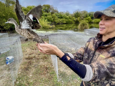
Counting on it – Fish & Game staff checking on wildlife numbers to manage species
Fish & Game staff across the country are out of their offices catching and counting birds or kitted up in wetsuits to count fish.
- 22/03/2024
- Richie Cosgrove
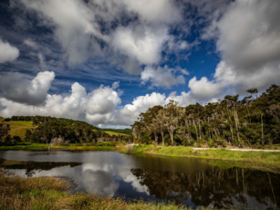
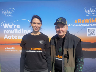
ReWilding the north for World Wetlands Day - wetland a paradise for wildlife
The completion of the second stage of an ambitious project to rewild a once grazed Northland valley into a lush wetland has been celebrated with an event to mark World…
- 8/02/2024
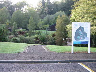
Mohaka & Aropaonui River Update
Mohaka River No 6 Glenfalls recreation reserve. The DOC camping ground is still closed waiting for repair work to be undertaken.
- Hawke's Bay
- 12/01/2024
New Zealand anglers warned about rogue fishing licence website
Fish & Game New Zealand is urging anglers to beware of an overseas-based website offering its services to help purchase a fishing licence.
- 22/12/2023
- Roslyn Simmonds
BUYER BEWARE ALERT
ALERT NOTICE for anyone intending to purchase a fishing licence - It has come to Fish & Game’s attention that there is a website offering its services as an assistant…
- 21/12/2023
Annual Public Meeting of Eastern Fish & Game region
The Annual Public Meeting of the Eastern Fish & Game Council will be held at our premises, 1130 Paradise Valley Road, Rotorua on Thursday 8th Dec at 3pm.
- Eastern
- 22/11/2023
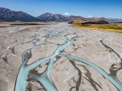
Environment Canterbury Media Statements Misleading
Environment Canterbury’s (ECan) media comments on progress with the Declaration proceedings before the Environment Court relating to the Rakaia River Water Conservation Order do not provide full context, and readers…
- North Canterbury Fresh Water
- 14/11/2023
Dame Lynda Topp behind new Fish & Game campaign encouraging Kiwis to take up angling and hunting
Fish & Game New Zealand has launched a public awareness campaign to hook New Zealanders on the experience of freshwater fishing and hunting.
- 7/11/2023
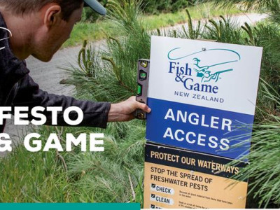
Fish & Game sets out hunting and fishing manifesto for new Government
Fish & Game New Zealand has outlined a series of priorities for the new Government to consider as part of a hunting and fishing manifesto.
- 2/11/2023

New Curriculum Launch
There was a great turn out to the launch of our draft education curriculum yesterday.
- Hawke's Bay
- 22/06/2023