The Hawke’s Bay offers a huge range of angling opportunities, with some of the best and easiest access in the country.

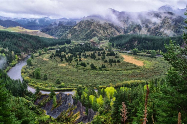
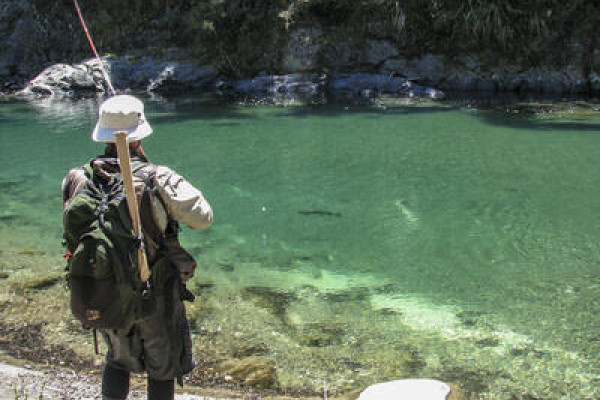


The region’s rivers provide some spectacular headwater fishing, as well as year round lowland angling.
Lake Tutira is the major lake fishery in the region and stocked with fish sourced from Lake Tarawera. These fish grow quickly during the summer and provide excellent sport to both shore-based and rowboat-trolling anglers.
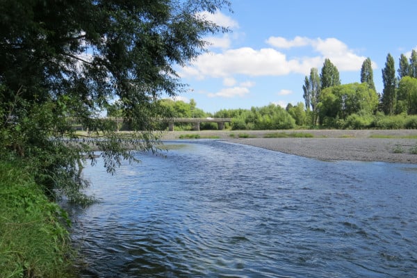
The largest river systems in the region are the Mohaka, Tutaekuri, Ngaruroro, Waipawa and Tukituki, and both brown and rainbow trout are prevalent throughout the region (please select the links above for more information on each river system).
Dry fly fishing on the Tukituki, along with its many tributaries, is popular during the heat of the summer months as fish feed on the surface. The Ngaruroro and Mohaka rivers offer headwater wilderness fishing that is nationally rated and provides anglers the chance to catch trophy-sized fish in clear waters. The middle and lower reaches of the region’s rivers are easily accessible from a variety of public roads and provide anglers with vast amounts of fishable water.
Waipawa River
The Waipawa River is very similar to the Tukituki river system, as it is a significant tributary to it. The Waipawa River is often lower during the summer months and the upper Waipawa especially, as it can be dewatered during the dryer months as it crosses the Ruataniwha Plains. This water however, is forced to the surface again as it hits the hard limestone of the Raukawa Range. This is why such streams as the Mangaonuku and Cochranes Creek are always flowing year round. So if you are heading above the Raukawa Range for a fish and its too low, try a spot below it and it will almost be guaranteed that the river will be much higher.
Datawatch (tagged trout)
This tagging programme has been running for nearly 20 years on some lakes and provides Fish & Game with an excellent method for monitoring fish growth each year.
Most of the Rotorua Lakes and Lake Tutira contain Datawatch tagged trout. Between 500 and 1000 of our annual releases into most lakes are tagged with a small plastic tag, and when anglers catch these fish they return the tag along with fish details so we can monitor trout growth during the season. Returning this information is rewarded with a letter showing how the fish you caught was growing compared to others of the same tag, and you also go into the draw for a free trout fishing licence.
From the 2004-05 season we moved to longer tags and this seems to have increased the return rate as anglers are seeing the tags more easily. The tagging programme supplies vital information for the management of these lakes so please make the effort and help us manage your fisheries! Trout are tagged just before liberation and fish are released at about 18cm.
All anglers who return tags with the date the fish was caught, fish length and tag numbers go into the draw for one of 20 free whole season licences each year.
The more tags you send in, the more chances you have. Send tag details by selecting here to send in details of your catch.